Welcome to Southern Drone Ops Remote Sensing Services
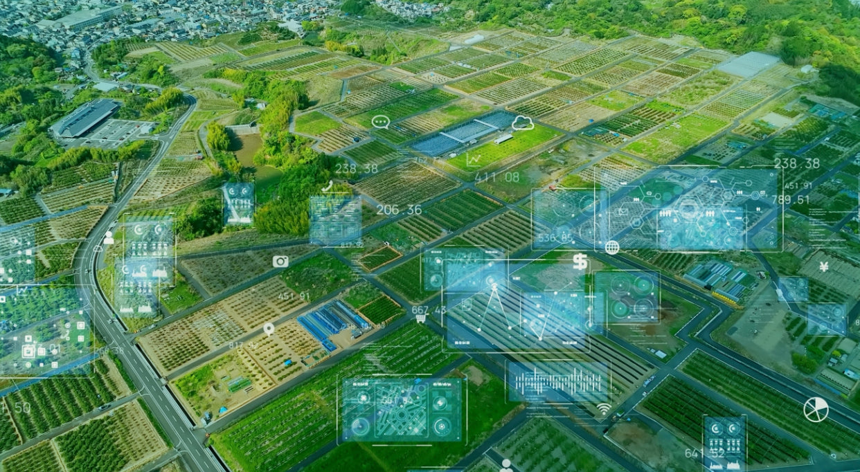
Unleash the Power of Remote Sensing for Successful Farm Management
Unleash the Power of Remote Sensing for Successful Farm Management
At Southern Drone Ops, we understand the immense value that Remote Sensing can bring to your farm management workflows. That's why we offer comprehensive Remote Sensing consultations, tailored specifically for farmers, drone service providers, crop consultants, and agronomists seeking to adopt cutting-edge technologies in their agricultural practices.
Our mission is to empower you with the knowledge and expertise to harness the full potential of Remote Sensing, enabling you to derive actionable insights and make informed decisions for your agricultural operations.
What You'll Gain from Our Remote Sensing Training Course:
Image Processing and Optimization
Master the art of processing and optimizing aerial imagery for accurate and reliable analytics. Learn industry-leading techniques to enhance image quality and maximize the precision of your data, ensuring superior results for your analysis.
Crop Monitoring and Assessment:
Discover the art of effective crop monitoring and assessment using advanced aerial analytics tools. Explore how to leverage high-resolution imagery to identify and analyze crop health, growth patterns, and potential stress factors. Gain the skills to make informed decisions and implement timely interventions for optimal crop performance.
Yield Estimation and Performance Analysis
Unlock the power of yield estimation and performance analysis with aerial analytics. Learn how to leverage data-driven insights to estimate crop yields accurately and assess the productivity of your fields. Acquire the skills to optimize resource allocation, plan harvest strategies, and maximize overall farm profitability.
Field Mapping and Topographical Analysis
Dive into the world of field mapping and topographical analysis using aerial analytics. Discover how to generate detailed maps and elevation models to identify variations in terrain and drainage patterns. Leverage this information to optimize irrigation, land leveling, and field design, ultimately improving the overall efficiency of your farming operations.
Precision Agriculture Techniques
Master the art of precision agriculture through our specialized training module. Explore advanced techniques such as variable-rate applications, prescription mapping, and site-specific management. Gain a deep understanding of how aerial analytics can facilitate precision farming practices, minimizing input waste and maximizing crop yield potential.
Collaboration and Reporting
Learn how to effectively collaborate with stakeholders by sharing aerial analytics insights and reports. Explore various methods of data visualization and communication to convey key findings to clients, colleagues, or farm management teams. Harness the power of impactful reporting to drive collective decision-making and achieve operational excellence.
Unleash the Potential of Remote Sensing with Southern Drone Ops
Enroll in our 'Remote Sensing Consultation Service' and unlock the true potential of Remote Sensing for your agricultural endeavors. Let us equip you with the skills and expertise needed to navigate the complexities of aerial data, enabling you to drive productivity, sustainability, and profitability in your farming practices.
Contact us today to learn more about our Remote Sensing consultation service and embark on a transformative journey towards becoming a proficient user of Remote Sensing. Together, we can elevate your farm management strategies to new heights, leveraging the power of data-driven insights for a successful and sustainable agricultural future.