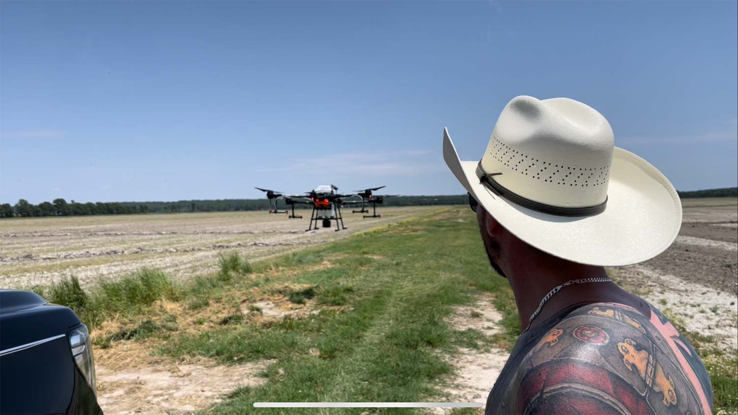

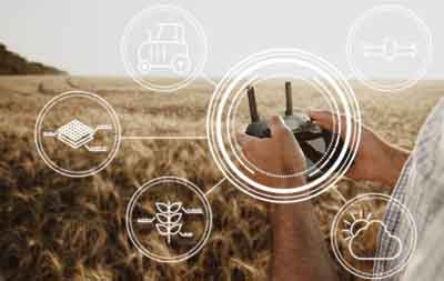
Complete Agricultural Drone Systems Sales, Education, Service, Support for Farmers
Unlock the Potential of Your Fields Today...
-
Unparalleled Field Monitoring
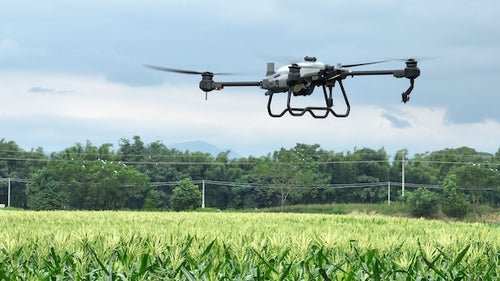
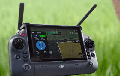
Know MoreDrone-captured aerial imagery provides farmers with unparalleled insights into their fields. With a bird's-eye view of their crops, farmers can closely monitor plant health, detect early signs of stress, identify areas requiring field validation, and make informed decisions to optimize yields. The ability to gather comprehensive data from the above empowers farmers to take proactive measures and address potential issues before they become catastrophic.
-
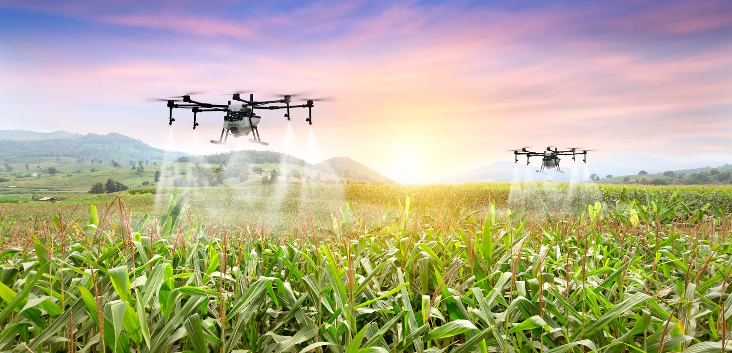
Precision at its Best
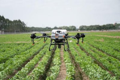
Know MoreThe advanced sensors and imaging technologies of today's drones are driving efficiency in aerial applications. These sensors enable the generation of detailed prescription files from plant health maps, allowing growers to apply precise applications of fertilizers, pesticides, and water resources only to the areas in need. This targeted approach minimizes waste, maximizes resource efficiency, and ensures optimal crop health, resulting in improved productivity and cost savings.
-
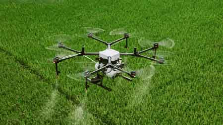
Saving Time and Effort
Know MoreAerial imagery streamlines crop monitoring and management. By collecting timely and accurate data, drones save farmers valuable time and effort. With the ability to identify variations in plant health and assess the effectiveness of current farm management practices, farmers can make informed decisions and implement proactive strategies. This enables them to address potential issues promptly, leading to improved crop health and overall farm management.
-

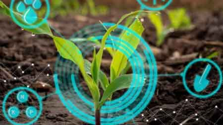
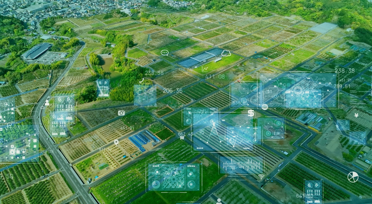
Harnessing Data Insights
Know MoreAerial imagery and drone technology empower farmers with data-driven decision-making capabilities. By analyzing the imagery and leveraging advanced analytics, farmers can make informed choices about planting schedules, irrigation strategies, and crop protection measures. This results in increased productivity, reduced costs, and improved overall farm management, leading to greater profitability and sustainability.
-

Responsible Agricultural Practices
Know MoreThe use of drones in agriculture promotes environmental sustainability. By optimizing the use of resources such as water and chemicals, farmers can reduce their ecological footprint. Drones provide valuable insights into areas of water stress, allowing for targeted irrigation and efficient water management. Additionally, the precise application of treatments minimizes environmental impact and ensures responsible agricultural practices.
-
Unlock the Potential of Your Fields
Know MoreDiscover how aerial imagery and drones can revolutionize your farming practices. Contact us to learn more about our comprehensive consulting programs, state-of-the-art aerial analytics, and tailored solutions. Let Southern Drone Ops help you thrive in the dynamic world of modern agriculture. Together, let's unlock the full potential of your fields and drive your farming operations to new heights.


ABZ Innovation Now Available
Southern Drone OPS is a proud dealer that can sell and help you navigate through all of ABZs amazing and unique drones for whatever need you have!
Contact Us Today to Discover the Possibilities!
Our Bestsellers
-
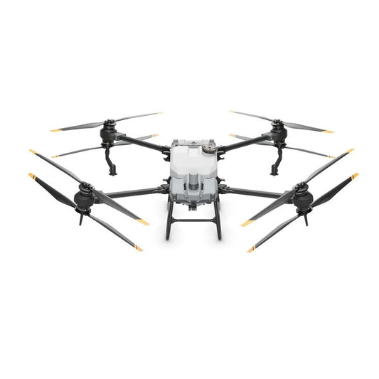
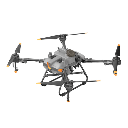
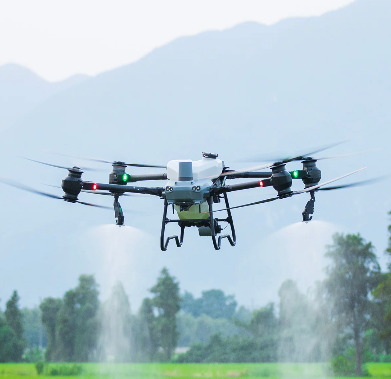
DJI Agras T40 Sprayer Drone
Vendor:DJIRegular price $19,999.00 USDRegular priceUnit price per -
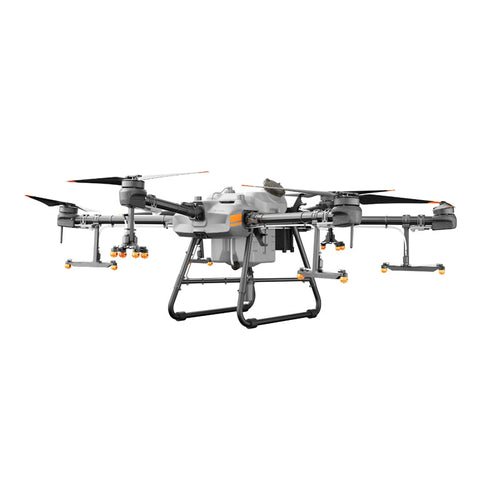
DJI Agras T30 Sprayer Drone
Vendor:DJIRegular price $15,999.00 USDRegular priceUnit price per -
DJI Agras T20P Sprayer Drone
Vendor:DJIRegular price $12,499.00 USDRegular priceUnit price per -
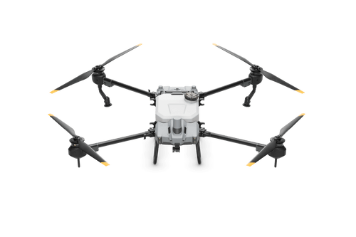
DJI Agras T10 Sprayer Drone
Vendor:DJIRegular price $10,999.00 USDRegular priceUnit price per