Introducing Southern Drone Ops' Stand Count Analytics - Unleashing the Power of Accurate Stand Count Data for Optimal Crop Management
At Southern Drone Ops, we understand the critical role that accurate stand count data plays in optimizing crop management and maximizing yields.
Enhance Your Crop Success with Advanced Aerial Insights
At Southern Drone Ops, we understand the critical role that accurate stand count data plays in optimizing crop management and maximizing yields. That's why we are thrilled to introduce our cutting-edge Stand Count Analytics. Powered by advanced aerial technology, we provide growers like you with precise and actionable stand count data, enabling you to make informed decisions and achieve optimal crop success.
Why Choose Southern Drone Ops Stand Count Analytics?
Unparalleled Accuracy: Traditional stand count methods can be time-consuming and may not provide accurate results. With Southern Drone Ops' advanced aerial technology, we capture high-resolution imagery and collect data across your fields, ensuring precise and reliable stand count calculations. By accurately assessing the population density of your crops, you gain valuable insights into plant distribution and can make informed decisions regarding planting density, resource allocation, and overall crop management.
Timely Stand Assessments: Timely and up-to-date stand count information is crucial for effective crop management. Our Stand Count Analytics provide you with regular stand assessments throughout the growing season. By receiving timely updates, you can monitor stand establishment, identify areas of concern, and adjust management practices accordingly. Stay ahead of potential issues and optimize your crop success with the power of timely stand count data.
Optimize Planting Strategies: Accurate stand count data allows you to fine-tune your planting strategies. With Southern Drone Ops' Stand Count Analytics, you gain insights into the actual number of plants per unit area, enabling you to optimize planting density and achieve optimal crop spacing. By adjusting planting rates based on reliable stand count information, you can maximize resource efficiency, promote uniform growth, and ultimately improve yields.
Resource Allocation Efficiency: Precise stand count data empowers you to allocate resources efficiently. With our Stand Count Analytics, you can identify areas with higher or lower plant populations, allowing you to tailor resource allocation accordingly. Whether it's adjusting irrigation schedules, fine-tuning fertilizer application rates, or targeting pest management, accurate stand count data ensures that resources are applied where they are most needed, resulting in optimized resource utilization and improved crop performance.
Proactive Crop Management: Stay ahead of potential challenges with proactive crop management. Southern Drone Ops' Stand Count Analytics provides you with comprehensive stand count reports, enabling you to identify areas of low stand density or gaps in plant distribution. By proactively addressing these issues, you can take corrective actions such as reseeding or targeted replanting, ensuring optimal stand establishment and maximizing overall crop potential.
Seamless Integration: Our Stand Count Analytics seamlessly integrate with your existing farm management systems. We provide user-friendly reports and compatible file formats, simplifying the incorporation of stand count data into your precision agriculture software or other platforms. This ensures a smooth integration into your existing workflows, allowing you to leverage our insights without disruption.
To ensure accurate and reliable stand count data, certain requirements must be met
Stand Count Requirements
Visible Target Crop
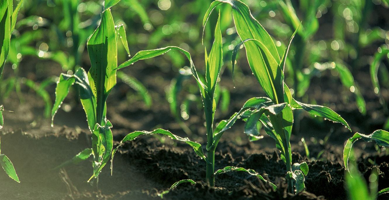
The target crop for stand counts must be clearly visible on its own, separate from its neighboring plants. This ensures that each plant can be accurately identified and counted, without the interference of overlapping or touching plants.
Suitable Field Conditions
Field conditions should be favorable for the emerging crops to be seen from the air. It is important that the field is free from debris, especially in no-till fields where remnants from the previous harvest can hinder visibility. Clearing the field of debris ensures accurate stand count measurements.
Timely Data Capture
It is crucial to schedule the data capture before the target crops grow into each other and create a closed canopy. Once the canopy is closed, individual plant visibility becomes limited, making accurate stand counts challenging. Timely data capture allows for a more precise assessment of plant density and spacing.
Partner with Southern Drone Ops Today
Unlock the full potential of your crops with Southern Drone Ops' Stand Count Analytics. Our advanced aerial technology and accurate stand count data empower you to optimize crop management, enhance resource allocation, and achieve optimal yields. With Southern Drone Ops, you gain precise and actionable insights that revolutionize the way you manage your crops.
Contact us today to learn more about Southern Drone Ops' Stand Count Analytics service and discover how our advanced aerial insights can revolutionize your crop management practices. Together, let's elevate your crop success and drive your farm's productivity to new heights.
